“Early Warning” Warns of Thunderstorms and Potential Floods in Hadramawt Over the Next 72 Hours

Yemen Monitor / Newsroom:
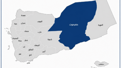
The Early Warning Center for Disasters and Multiple Hazards in Hadramawt Governorate (eastern Yemen) issued Weather Alert No. ((2)) today, Wednesday. The alert warns of continued atmospheric instability across the governorate over the next 72 hours, with the peak impact expected this coming Friday and Saturday, and some thundercloud formations persisting until the middle of next week.
The center explained that this instability is caused by an approaching upper-level trough accompanied by an air front affecting the country’s eastern and central governorates, including large parts of Hadramawt. It anticipates the movement of convective cloud formations turning into belts of thunderstorms during the afternoon and evening hours. This is expected to bring rainfall ranging from medium to heavy—and at times torrential—accompanied by hail and active wind gusts over the highlands and interior plateaus, with a high probability of flash floods in ravines and valleys.
The center warned all citizens in affected areas of the risks of flooding, mudslides, and rockfalls. It urged caution during rainfall, advising people not to cross valleys and to avoid touching light poles or electrical conductors during and after the rain.
Additionally, the center encouraged adherence to safety guidelines regarding thunderstorms and downdrafts. It highlighted the risk of reduced horizontal visibility due to rain and fog while driving and advised staying away from dilapidated houses. Residents are urged to move vehicles and property away from flood paths and to stay clear of mountain slopes to avoid potential landslides.
The center emphasized that these warnings are part of its continuous monitoring of weather conditions to protect lives and property, calling on all residents and travelers to commit to official instructions and follow safety protocols during this period.